
Walk a Carbondale Street by Address
A strong Carbondale street directory search begins with the physical, or situs, address. Jackson County property systems can identify the tax parcel and the name carried on its assessment. They do not prove who sleeps there. Deeds document title, while a dated directory, newspaper item, or controlled voter match may support a link between a person and an address at a particular time. Keep the source date and the exact role beside each name.
- Enter the house range, street, and city in the Jackson County Property Tax Inquiry. Save the parcel number and legal description.
- Open the same parcel in the county GIS viewer. Compare its situs, owner, and mail-to fields rather than treating them as one address.
- Use the parcel number or legal description in the Recorder's index. Record each instrument date, book and page, and the parties' roles.
- For a known person, test the exact name, birth date, ZIP, number, and selected street in the official voter lookup. It is not an open street list.
- Use dated directories, newspapers, plats, and Sanborn sheets to test earlier address forms and household links.
This sequence turns an address into a set of checkable records. It also prevents the most common mistake: calling every owner, taxpayer, deed party, or mail recipient a current resident.
Search Carbondale Property by Street
The Jackson County Property Tax Inquiry provides a useful by-street form. None of the inspected parcel fields was marked required, so a broad street search can be narrowed with a house-number range, Carbondale city, township, a sale date, or a current classification. The portal is an assessment system, not a roll of all occupants. Its owner field is the name used for tax administration.
| Portal field | Input | How it helps |
|---|---|---|
| House Number Low / High | Text, optional | Limits a long Carbondale street to one range |
| Street Name / City | Text, optional | Builds the basic address query |
| Parcel / Owner | Text, optional | Checks a known PIN or assessment name |
| Sale Price / Date | Number and date ranges | Narrows transaction timing, not move dates |
| Township / District / Class | Dynamic lists | Separates Carbondale tax geography and property types |
| Legal Description | Text, optional | Finds lot, block, subdivision, or tract wording |
The observed township list includes Carbondale, and the district choices include Carbondale City, park, library, airport, and TIF entries. These menus change with assessment data. Record the search date and remove filters one at a time when a likely parcel does not appear.
Read Carbondale Parcel Addresses Carefully
The Jackson County GIS viewer exposes separate fields for SiteAddress, SiteCityStateZip, OwnerAddress, and MailToAddress. It also shows PIN variants, legal description, municipality, township, class, values, acreage, tax code, and last-sale fields. A public sample had a Carbondale situs and an out-of-town mailing location. That is a records lesson, not proof about anyone's home.
The successful capture below comes from the official parcel viewer. It shows the map-based starting point used to select a feature and inspect the street directory fields.
- Parcel
- A tract represented for tax and map purposes, usually tied to a parcel identification number.
- Situs address
- The physical location assigned to the parcel, distinct from the tax mailing destination.
- Plat
- A recorded map that divides land into lots, blocks, roads, or other boundaries.
- Criss-cross directory
- A directory arranged by street and house number rather than only by surname.
Map selection works best when the parcel shape, road right-of-way, and displayed number agree. If they do not, save the PIN and legal description, then check the recorded plat.
Carbondale Street Directory Record Layers
No single record provides a complete Carbondale household. The most useful address-keyed sources overlap just enough to test one another. The table separates each custodian, time span, and limit.
| Address source | Local keeper | Evidence | Access route |
|---|---|---|---|
| Assessment roll | Jackson County Assessment Office | Owner, address, sale, class, exemption, legal description | Free wEdge portal or office |
| GIS parcels | Jackson County Assessment Office | Situs, mail-to, PIN, parcel geometry, values | Free BHAMaps viewer |
| Recorded instruments | Jackson County Clerk & Recorder | Grantor, grantee, deed type, date, book/page, legal description | Free 1989-present basic index, paid images, office terminals |
| Municipal files | Carbondale Clerk and Development Management | Permits, plats, annexations, deeds, easements, public cases | Portal, counter, or focused FOIA request |
| Dated local sources | JCHS, SIU, libraries, archives | Directory entries, news, maps, lot and street context | Online, reading room, phone, mail, or archive order |
The parcel number and legal description carry the chain from tax record to deed and plat. The street label connects municipal and directory material, but old aliases must be preserved. A person/address voter check uses the official state form and cannot be turned into a street-wide roster.
Follow Carbondale Streets Into Deeds
The free Fidlar basic index covers land-related documents recorded from 1989 forward. Tapestry offers deeper search and images for a fee. Start with the GIS PIN and legal description, then search both sides of a transfer. A grantor gives an interest; a grantee receives one. Record document type, instrument and recording dates, consideration when shown, legal description, and book/page.
The Jackson County Clerk & Recorder does not conduct property research for the public. Free computers and staff assistance are available at the Murphysboro office. Once a document number or book/page is known, copies may be requested in person or by mail with prepaid copy costs and a stamped return envelope. The county says fax search requests are not accepted.
Older work takes a different route. IRAD at SIU holds a Jackson County deed index for 1838 through 1889 and deed records for 1843 through 1936. The period from 1937 through 1988 is a gap in the online tools inspected, not a gap in the legal record. Ask the Recorder about books and indexes, then use IRAD, JCHS, or SIU as the date and format require.
Note: A deed's required grantee address is a recording fact and should never be presented as proof of physical occupancy.
Carbondale Street Names Across Time
Carbondale began with a 360-acre purchase and a town plat in 1852, then grew around the railroad. The city's official history and code books for 1874, 1905, and 1929 help translate older lot, block, and corporate-limit language. The 1929 official map was adopted by ordinance and used section-based boundary descriptions. A current house number should not be projected backward without that check.
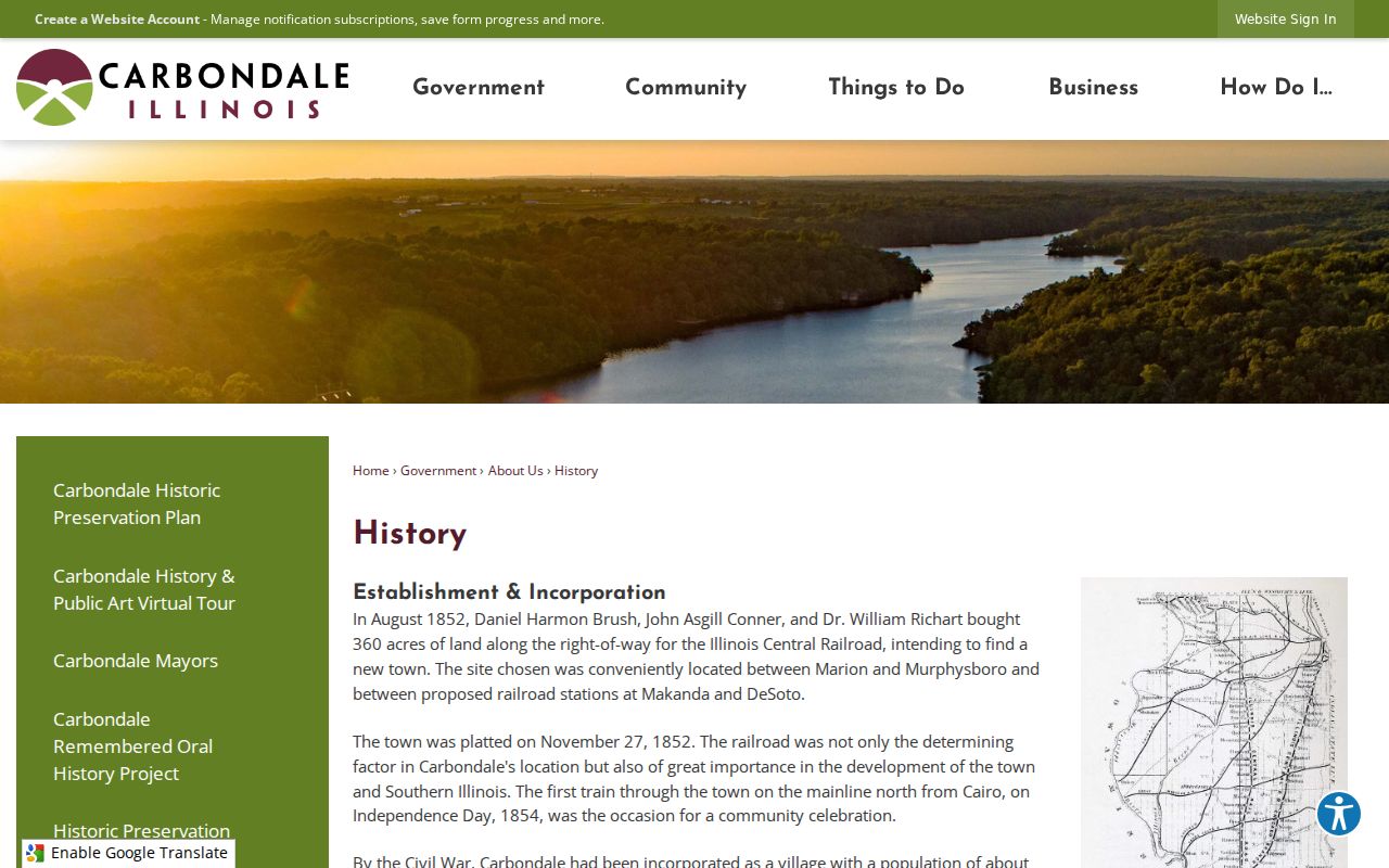
The source image below was captured from the city's history material. It gives context for the original plat and the growth that produced Carbondale's later street grid.
A permanent full-length street change requires a petition signed by at least two-thirds of residents and parcel owners along the street, staff review, a public hearing, and City Council action. Honorary signs are different. Carbondale's 2025 notices for Elbert Simon Sr. Way and Kenneth “Kent” Mason Way expressly say the designations do not change official addresses. Search the legal name while storing the honorary label as an alias.
Map Historic Carbondale Street Blocks
The Carbondale Sanborn sequence offers six dated views: Library of Congress editions from 1886, 1893, 1899, 1906, and 1913, plus a 1929 map digitized by the University of Illinois. These sheets can show streets, alleys, blocks, lot lines, building footprints, construction clues, and water features. They usually do not name private residents.
Use a Sanborn sheet as place evidence. Cite the edition and sheet, compare the street shape with a plat and the current GIS parcel, then pair it with a dated directory or deed. JCHS reports more than 300 maps along with plat books, directories, newspapers, cemetery files, and courthouse material. That local collection can bridge addresses that an online map cannot resolve.
A criss-cross entry can then add a name at a house number. The underlying historical directory collections belong on the Carbondale city directory page; here, their job is limited to testing one street at one date.
Carbondale Files Keyed by Address
Development Management handles zoning, subdivisions, plats, annexations, and public hearings. The City Clerk keeps permanent municipal records, including city deeds, easements, contracts, ordinances, and other files. Building permits and the Citizen Portal may add project and inspection context. SeeClickFix can show a public issue tied to a map point or address, but a complaint is not a verified fact about a resident.
When the public interface does not expose the needed field, send a focused request through the Carbondale FOIA process. State the address or PIN, record class, department, and date range. Inspection is a valid option. Illinois FOIA generally gives a public body five business days to respond to a noncommercial request, subject to extensions and exemptions.
Recent annexation files may rely on PIN, section, and legal-description language rather than a street name. Preserve that wording. It may explain when a parcel entered the city grid or why the city label, postal ZIP, and tax geography differ.
Carbondale Records Split Across Two Cities
Carbondale is not the Jackson County seat. The Clerk & Recorder and the core courthouse records are in Murphysboro, while the IRAD depository and much archival research capacity sit at SIU's Morris Library in Carbondale. That split shapes a serious street directory search.
Clerk & Recorder
1001 Walnut Street, Murphysboro
618-687-7360
Weekdays, 8 a.m. to 4 p.m.
Land index, office terminals, known-document copies
Assessment Office
900 Walnut Street, Murphysboro
618-687-7220
Property roll, GIS, PIN changes, land divisions
IRAD at SIU
Morris Library, Carbondale
Archival deed, assessor, voter, probate, and other Jackson County series
Phone first when the date or format is unclear. The office route is especially important for the middle years that neither the early IRAD deed runs nor the modern free index covers online.
Normalize a Carbondale Street Address
Store each address component in its own field: number, directional, street name, suffix, unit or lot, city, state, ZIP+4 when known, parcel PIN, legal description, and historic alias. Confirm the postal form with USPS, then compare the assessor's City search and the GIS SiteCityStateZip output. A planning neighborhood or assessor township is not a ZIP.
This matters on Carbondale's old grid and later annexed areas. A modern parcel may sit over an original town lot, a subdivision, a split PIN, or a former rural description. The legal lot and block can survive even when the street label changes.
Address key. Keep legal, postal, tax, map, and historic labels separate; agreement among them is evidence, while a mismatch is a prompt for another record.
Limits of Carbondale Street Records
A Carbondale street directory cannot produce a complete current household list. Assessment data identifies a tax owner, not every occupant. Deeds track property interests. A directory is a dated publication and may omit people. Illinois voter lookup is a controlled match for information already supplied, while broader voter data is limited by election law and anti-commercial-use rules.
Driver-address data is protected by federal law. Utility customer details, protected-survivor locations, sealed or expunged records, and private contact data are not gaps to work around. Illinois's Address Confidentiality Program can provide eligible survivors with a substitute address, though the state warns that real-property records may not be fully hidden.
Lawful use. Use Carbondale address records only for lawful personal research. Never use a street search to stalk, harass, threaten, or harm anyone.
Mark every conclusion with its source and date. “Owner,” “mail recipient,” “deed party,” “directory subscriber,” and “registered voter” describe different relationships and should remain different in the final notes.