
Carbondale Neighbors Block Sources
A useful block lookup separates physical proximity from personal identity. Jackson County's parcel layer identifies touching or nearby land polygons. The assessor roll connects parcels to tax and ownership fields. Recorder, planning, and map sources explain boundaries and changes. Historical directories may supply a dated street snapshot. Voter access is a controlled match, not an open list of everyone on a block.
| Block source | Evidence it supplies | Carbondale access |
|---|---|---|
| BHAMaps parcel layer | PINs, parcel shapes, situs, owner, legal and tax fields | Free map and public feature layer |
| wEdge assessment roll | Address range, owner, PIN, class, district, exemptions, and sales | Free current portal |
| Recorder deeds and plats | Transfers, easements, subdivisions, and boundaries | Fidlar from 1989; office and IRAD for older records |
| Directories and maps | Dated households, lots, streets, and building footprints | JCHS, SIU, LOC, and UIUC |
| Planning and association pages | Public hearings, planning areas, and neighborhood boundaries | City and Arbor District sites |
An owner field proves only that a name appears in an assessment role. The mail-to field is where tax correspondence goes, and it may be outside Carbondale. For a sound result, record the field label, source, and date. Avoid converting public property data into a claim about a household.
Four Carbondale Neighbor Layers
One block can be described four ways. The map layer holds parcel polygons, roads, lots, and municipal bounds. The address layer holds situs numbers, units, ZIP labels, and historic aliases. The record layer contains assessment fields, deeds, permits, and public city issues. The historical and social layer adds old directories, newspapers, neighborhood boundaries, and hearing notices.
| Layer | Question |
|---|---|
| Map | Which parcels actually touch? |
| Address | Do sources identify the same place? |
| Record | What public role does each name have? |
| History and community | How did the block or named area change? |
A shared planning area does not prove two people know each other. A parcel across a road can be nearby without sharing a legal boundary.
Map Carbondale Neighbors by Parcel
The Jackson County GIS viewer is the primary block tool. Its public layer includes full and site address, GIS PIN, owner and mail fields, legal description, acreage, tax code, municipality, township, class, values, and last-sale fields. Use only what is needed to understand the land.
- Locate the target and save its PIN, parcel shape, situs, and legal description.
- Select polygons that touch it, then inspect parcels directly across the street.
- Check rights-of-way and plats when a gap makes adjacency unclear.
- Compare each parcel in wEdge by address or PIN, keeping the fields separate.
- Use the Carbondale street directory when the question expands past the immediate block.
The public parcel feature layer documents the fields behind this method.
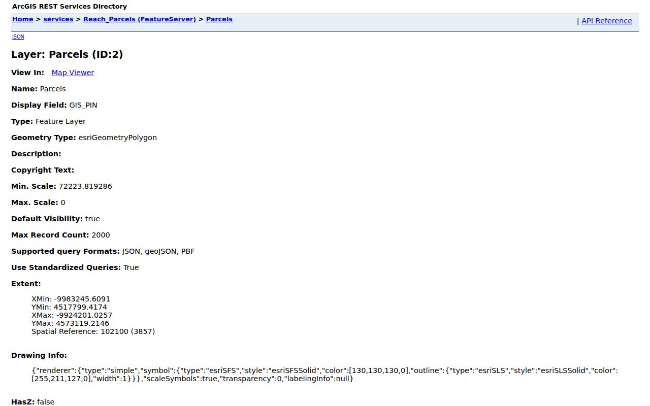
A field-based demonstration avoids publishing a real list of living people.
Separate Carbondale Address Fields
A public GIS sample contained a Carbondale situs and a different out-of-town mailing location. The situs identifies the parcel's physical place. OwnerAddress and MailToAddress are correspondence fields. None proves occupancy.
- PIN
- The property identification number for a tax parcel.
- Situs
- The assigned physical parcel address.
- Plat
- A recorded drawing of lots, blocks, and streets.
- Right-of-way
- Land reserved for a road or public passage.
Compare the legal description and parcel shape when records conflict. For old blocks, a deed book and plat may outlast a street label.
Confirm Carbondale Neighbor Boundaries
Move from PIN to Recorder when the map is unclear. The Tapestry land-record service offers deeper searches and images for a fee. The free Fidlar index covers basic records from 1989 forward. Public terminals in Murphysboro avoid the internet fee, and known documents can be requested by book and page or document number.
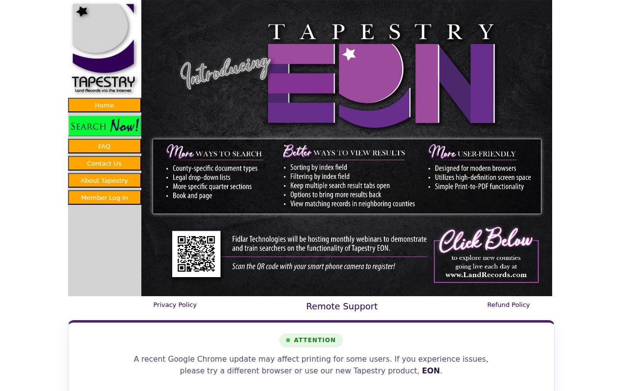
A deed or plat can confirm a subdivision line, easement, or transfer. A grantee's mailing address still does not prove residence.
IRAD at SIU documents Jackson deed indexes from 1838 to 1889 and deed records from 1843 to 1936. Older boundaries may require county books, JCHS, or archive help.
Arbor District Carbondale Neighbors
The Arbor District is a named public boundary, not a neighbor roster. Its edges are West Main and Illinois 13 to the north, West Mill to the south, South University and US 51 to the east, and Oakland to the west. It includes the West Walnut Historic District and a student-oriented context. Public work includes cleanup, preservation, zoning and code activity, neighborhood watch, mutual aid, and emergency planning.
The Arbor District page connects the area to the original town plat and railroad growth.
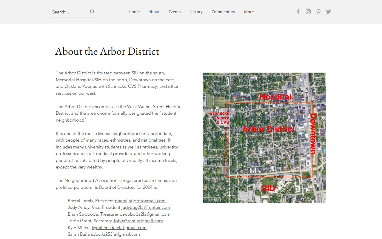
Use the district for geography. Do not copy board contacts into a resident list or assume everyone inside is a member.
Carbondale Block Notice Routes
The City says several neighborhoods have designated Neighborhood Watch blocks and gives a Community Resource Officer contact, but no public participant roster was found. Planning Commission and Zoning Board pages offer neighborhood notice signup for hearings. These sources support civic awareness without collecting household details.
The Comprehensive Plan divides Carbondale into Northeast, Northwest, Southwest, Southeast, and Western Boundary areas. Those planning areas differ from parcel adjacency, postal ZIPs, tax townships, and association boundaries. Define “neighbor” as a touching lot, across-street parcel, block, district, or planning area before searching.
Note: A public community contact is an access route, not proof that the contact represents every household.
Carbondale Block Concern Records
Address-based city concerns add civic context. Carbondale's SeeClickFix route lets the public mark a location, choose a category, add a description or image, and browse public issues. It suits roads, signs, debris, drainage, and parks. It should not become a way to profile nearby people.
The City concern page explains that workflow.
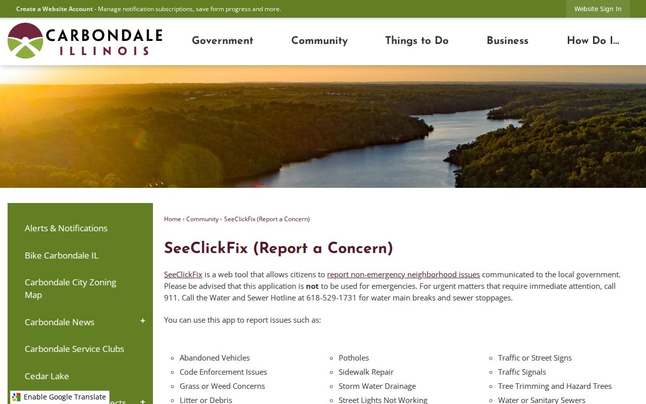
A dated issue can explain work on a block. It does not prove fault, ownership, or a personal connection.
Illinois Voter Limits Protect Neighbors
The Illinois registration lookup is a controlled match requiring a name, birth date, five-digit ZIP, street number, and dynamically chosen street. It does not permit browsing every voter on a Carbondale block.
Electronic voter data also has Election Code limits on personal, private, and commercial use. Sensitive fields receive redaction. FOIA does not override those rules. Historical IRAD registers can support a dated research question, but not a current block roster.
Official Carbondale Neighbor Records
Official sources identify a custodian, field meaning, and public role. A commercial neighbor compilation may blend stale addresses and unclear sources. Neither proves current occupancy, but official records make the limits easier to see.
| Choice | Strength | Limit |
|---|---|---|
| GIS and assessor | Dated parcel and tax fields | Owner is not necessarily occupant |
| Recorder and planning files | Documents and defined public actions | Needs careful parcel matching |
| Commercial compilation | May collect many leads | Source, date, and identity can be unclear |
Use a second dated official source when a point matters. Keep results about land, boundaries, and civic context, not living-person profiles.
Protect Privacy of Carbondale Neighbors
Renters, household members, utility customers, and delivery recipients do not form a public block directory. A public owner, permit applicant, court party, or directory subscriber appears in a specific role at a specific time. Do not merge those roles into a current-home claim.
Illinois's Address Confidentiality Program supplies a substitute address to eligible survivors of domestic violence, sexual assault, stalking, and human trafficking. A failed lookup or substitute address is not evidence that someone is absent, and never justifies searching around that protection.
Lawful use. Research Carbondale neighbors for civic awareness, block history, reconnecting, or personal safety. Never use records to watch, intimidate, harass, or harm anyone.